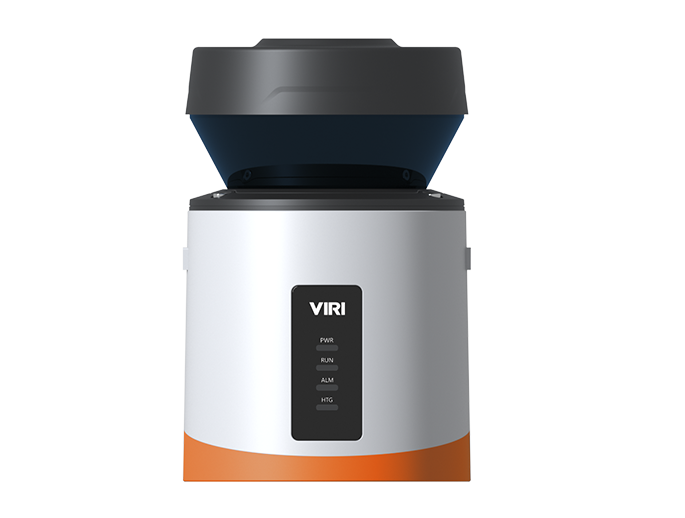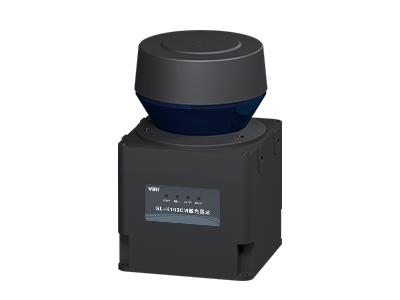
Single Line Mechanical TOF LiDAR Applications in Smart Highway Field
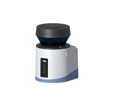
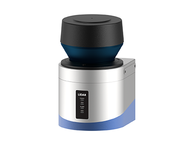
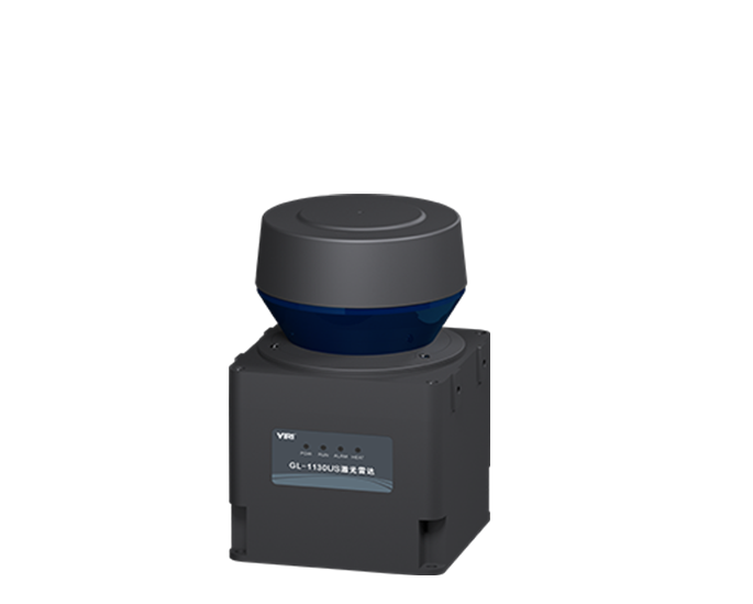
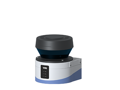
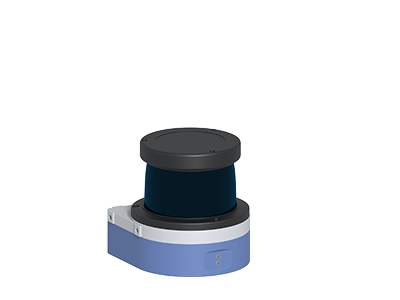
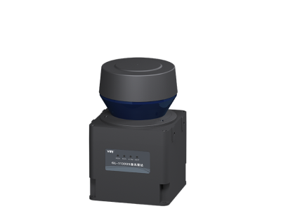
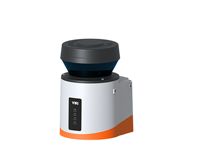
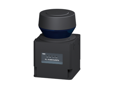
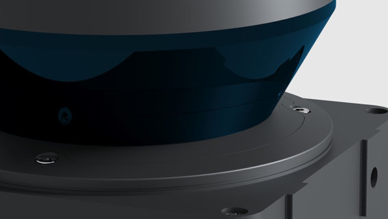
LiDAR is an acronym for "light detection and ranging". Its working principle is the system emits a detection laser beam to the target, and then receives the return signal reflected by the target, and performs high-speed processing on ToF of laser, and obtains the real 3D point cloud scene and information: distance, speed, orientation, shape, size, attitude, etc.
The LiDAR system possesses the capability to capture and gather intricate traffic information survey data, encompassing details such as the specific vehicle type, its contour, the overall traffic volume, the precise time headway between vehicles, the percentage of cars following closely, the distance between vehicles' fronts, the average of such distances, and the time occupancy rate. All this data is then transmitted to the data service center via a predefined communication protocol, ensuring the seamless integration and analysis of vital traffic metrics for enhanced traffic management, planning, and optimization efforts.

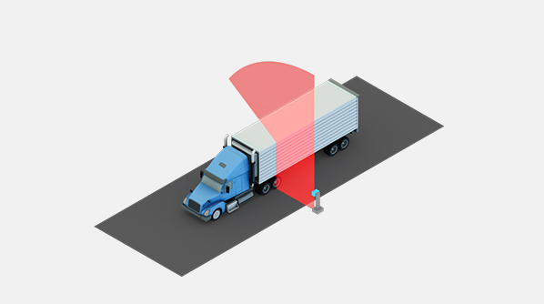
Axle Identification
Traffic Flow Survey
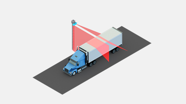
Vehicle Profile

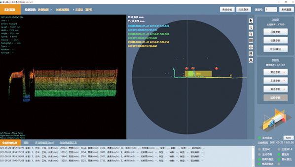
Vehicle Profile Measuremen
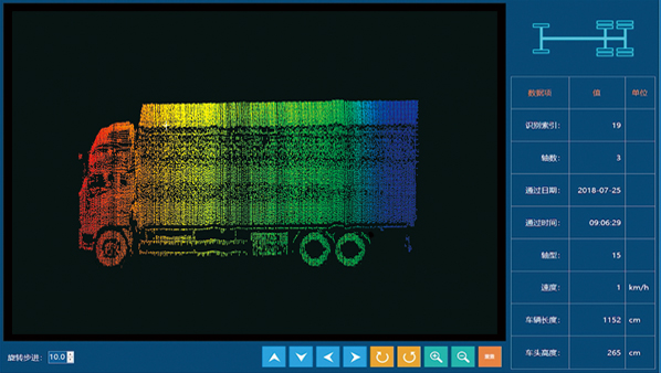
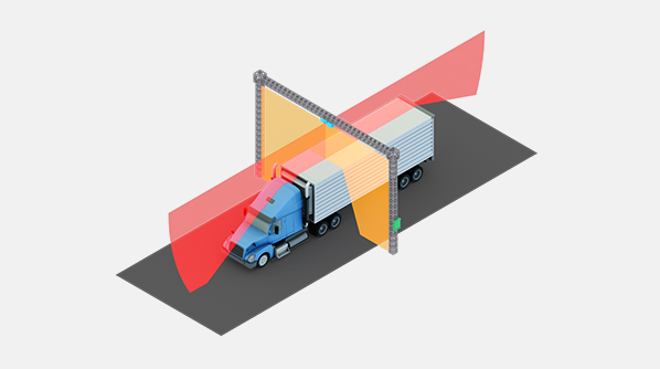
Vehicle Wheel Axle Identification
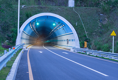
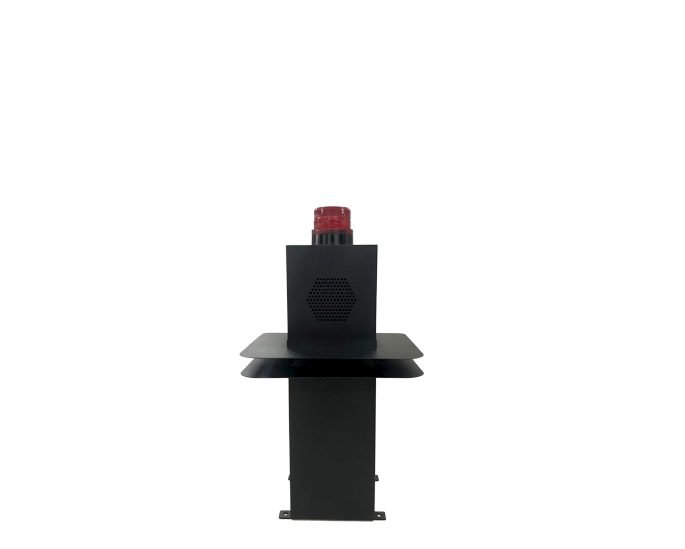
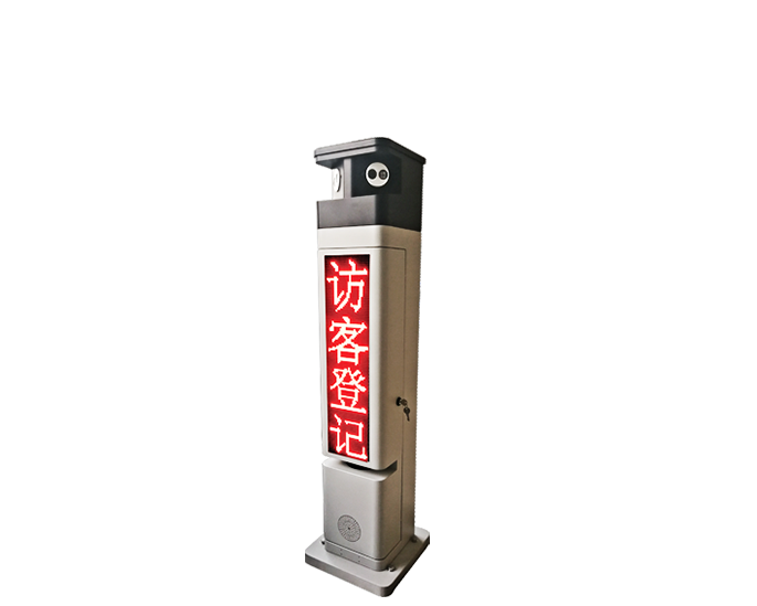
Road tunnel entrance

Urban three-dimensional intersection bridge
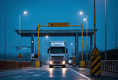
Highway entrance toll detection
© Copyright Baoding Galaxy Electronic Technology Co.,Ltd. 2024. All rights reserved.冀ICP备05000380号-1 Privacy Policy
Design by: Bjszhd